Installation


Jun 05 — Aug 28, 2015
Featuring work by: Jocko Weyland
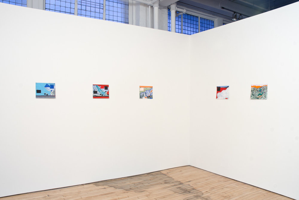
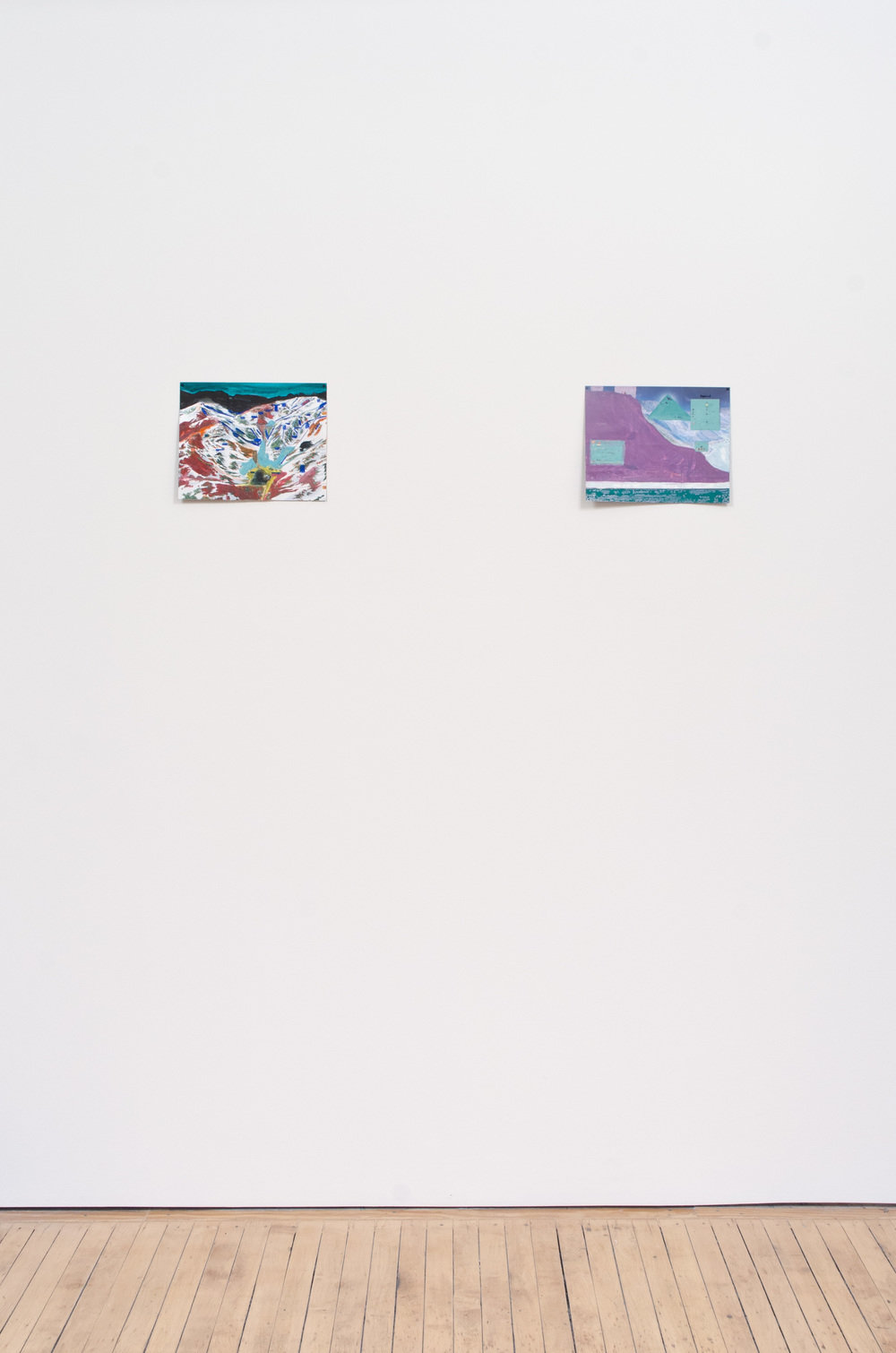
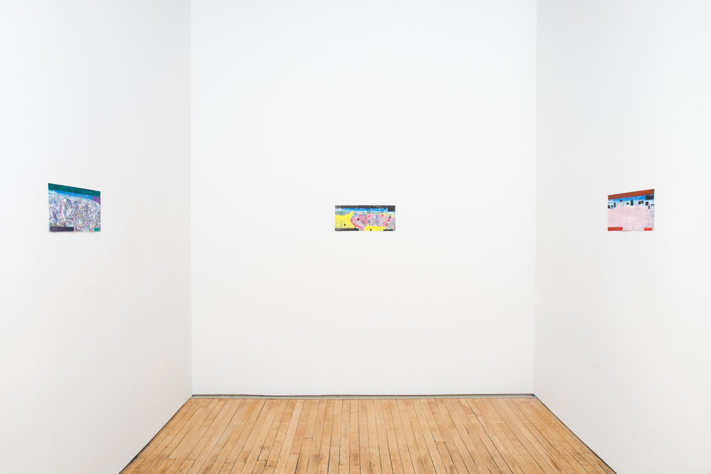
Jocko Weyland has been skiing most of his life and has always appreciated the printed ski maps that depict the topography of mountains and ski trails of ski resorts worldwide. In 2004, Weyland conducted an interview for Cabinet magazine with James Niehues, the premiere illustrator of ski mountain maps. Unlike most maps which are vertical, top-down views, Niehues’ maps are bird’s-eye views representing a mountain and its trails from a 45-degree angle. Painted in gouache and then printed for mass distribution, the illustrations are highly realistic and verge on the Hudson River School sublime, representing the luminous effects of sunlight on snowy peaks and the violet, atmospheric haze enveloping distant mountains. In 2013, on an extended visit to the Lake Tahoe, Nevada region where Weyland skied extensively over a period of several months, he paid homage once again to the ski map. Embracing an autodidact’s enthusiasm for experimenting with the foreign medium of painting (Weyland had only just started painting the year before), he embarked on a project in which maps are surfaces to subvert, obfuscate, and erase. Transforming representational images into abstract paintings, the maps become palimpsests obscured under veils of paint.
In Weyland’s own words:
I’d had a long-running fascination with foldout ski trail maps, available at every ski area lift ticket kiosk, going back to my childhood in Colorado. They are amazing panoramas that marry topographical verisimilitude to an effective presentation of copious amounts of information in intricately painted landscapes, all translated to 4 x 9” maps available to everybody. They provide transportable, easy-to-use, and eminently practical guides to unfamiliar territory. The mountain itself, lifts, lodges, boundary lines, the runs, and their difficulty factor are all delineated with utmost precision. The visitor uses a trail map to navigate the varied terrain that is not easily comprehensible from their location on the ground. Like a road or subway map for an unfamiliar city, these handy images help cognitively locate one’s position in often disorienting spatial dimensions; they are utilitarian, and aesthetically pleasing, too.
In the winter of 2012–13, I was living in Incline Village, Nevada working as a lift operator at the Diamond Peak Ski Area. I had the Diamond Peak maps, and also got the ones for Squaw Valley, Alpine Meadows, Heavenly Valley, and Mt. Rose. Using a schoolchildren’s gouache set I had smuggled in from New York, I started painting over certain portions of the maps, coloring in some runs, leaving some unmarked, going over the lift lines, and covering up blocks of text. In a sense they are “redacted,” altered, and mutilated, obscuring useful information and using impossible colors (red skies, purple runs) in the place of the norm to transform the maps into something entirely different than their intended function—pictures of no particular utility, with odd art historical resonances (graffiti cover-ups, Robert Rauschenberg’s “Erased De Kooning,” artists painting over already-used canvases, etc.) that become new pictorial surveys of invented and nonsensical snow-covered peaks and valleys.
—
Jocko Weyland is the author of The Answer is Never: A Skateboarder’s History of the World (Grove Press, 2002); The Powder (Dashwood Books, 2011); and Danny's Lot (Dashwood, 2015). He has written for The New York Times, Apartamento, Vice, Cabinet, San Francisco Arts Quarterly, and other publications. In 2003 he began making the serial publication Elk, which spawned Elk books and the eponymous Elk Gallery. He has had exhibitions at Franklin Parrasch, New York; FakeSpace, Beijing; Ever Gold, San Francisco; and Kerry Schuss, New York. Weyland is represented by Kerry Schuss and lives in Tucson, Arizona, where he is curator at the Museum of Contemporary Art, Tucson.


